By Lee Grimsditch
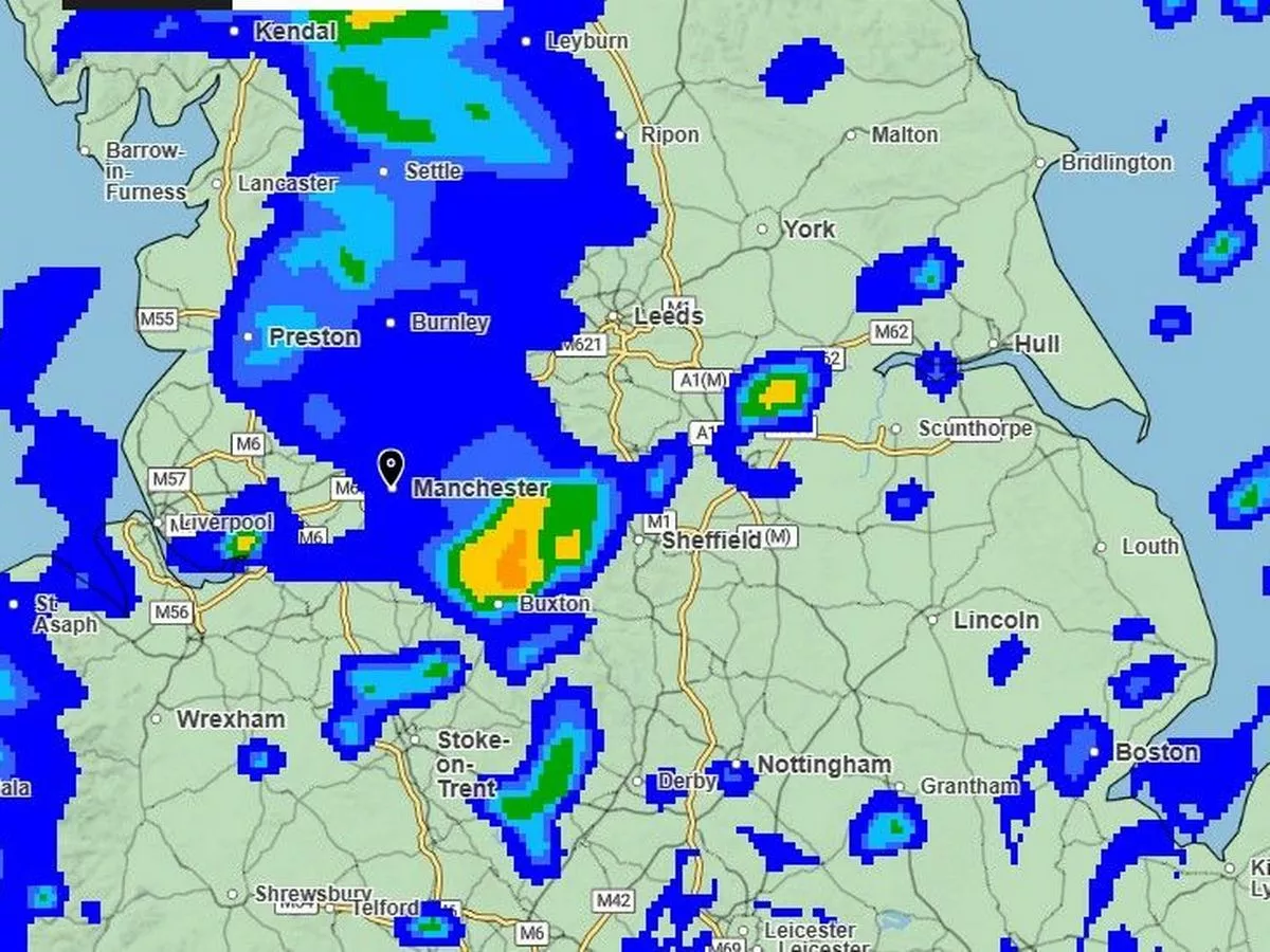
After the soaring temperatures following the weekend, many of us will be glad to see a return of some fresher weather . The Met Office has now said June was the hottest on record in England, with two heatwaves and high temperatures. Taking the whole of the UK into account, it was the second hottest since records began in 1884. Across the UK today, things are looking a little different with most parts experiencing a mixed morning of sunny spells and showery rain. The Met Office predicts rain could be heaviest in the east of the country , with the possibility of thundery downpours. However, things should become drier and sunnier in the afternoon and into the evening, but the day will feel fresher for many. After breaking the 30C barrier in parts over the last couple of days, today will see a drop in temperatures with highs of around 25C in the south and south east of the UK. In Manchester and other parts of the north west , temperatures are expected to peak around 21C in the mid afternoon. There could also be some isolated showers during the afternoon. A fine start is expected for Thursday, with plenty of warm sunny spells that are expected to turn cloudier in the afternoon with some showers possible in the north later on. It’ll be cooler and fresher again with the maximum temperature expected to 18C. The Met Office forecast it’ll be mostly dry on Friday but turning cloudier and windier later in the day. There could be spells of rain and showers over the weekend and could see stronger winds on Saturday. Temperatures are expected to around average for June. The latest Met Office weather maps shows a wall of rain sweeping across the country from the west in the early hours of Saturday morning, which is expected to dissipate by early afternoon for most. The Met Office’s UK long range forecast predicts: “Cloud and rain associated with an Atlantic frontal system and area of low pressure is likely to sweep south and east, with rain always most persistent on western hills, especially western Scotland where large rainfall totals may have built up by this time. “Eastern areas in shelter could see warm and humid brighter breaks, but with a risk of thundery showers, which could be slow moving at first. “Likely turning cooler and more showery into next week, followed by a changeable pattern with further areas of cloud and rain and brighter, more settled spells in-between. “Temperatures are likely to be around average overall, with an increasing chance of warmth in the south as the period progresses.” DAILY: Never miss a story with the MEN’s daily Catch Up newsletter – get it in your inbox by signing up here