By Sarah Keith-Lucas
After the driest spring on record and a dry start to summer for many, especially in England, there is some rainfall expected over the next five days. The majority will fall in the north-west of the British Isles.
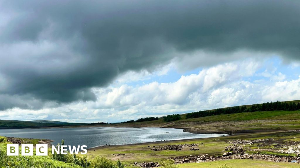
Yorkshire and North-west England are already in drought, and the Environment Agency says two thirds of England’s river flow are currently classed as “below normal or lower for the time of year”.
Eastern Scotland and parts of Wales are also seeing low water levels.
Thursday and Friday will see some outbreaks of rain, mainly in Scotland and Northern Ireland.
Temperatures throughout the weekend will be widely unsettled across the UK and showers will be unpredictable.
It is likely that higher pressure will build again into the second week of July, meaning the chance of rain will be lower.
This week marked the second UK heatwave of 2025. It lasted six days for parts of Yorkshire and the Humber, and five for people in central and eastern England.
An official heatwave is declared when locations reach a certain temperature for three consecutive days.
The thresholds vary from 25C to 28C in different parts of the country.
It was the result of a large area of high pressure getting “stuck” over Europe – dubbed a “heat dome” by some – and high temperatures are becoming increasingly common in the UK.
Scientists have emphasised the role of climate change in these sizzling summers, saying that heatwaves will likely become more frequent and hotter in the future.