By Nucleus_ai
In an era where data drives decisions, spatial intelligence often remains locked behind technical barriers. Garudalytics is changing that. Founded in 2021 and headquartered in Hyderabad, the startup is redefining how geospatial insights are accessed, analysed, and acted upon.
“We started Garudalytics to democratise geospatial intelligence,” says Jayanta Poddar, CTO and Co-founder. “Our goal is to bridge satellite, UAV, and remote sensing data with AI-powered analytics that users can command using just their voice.”
What Makes Garudalytics Different
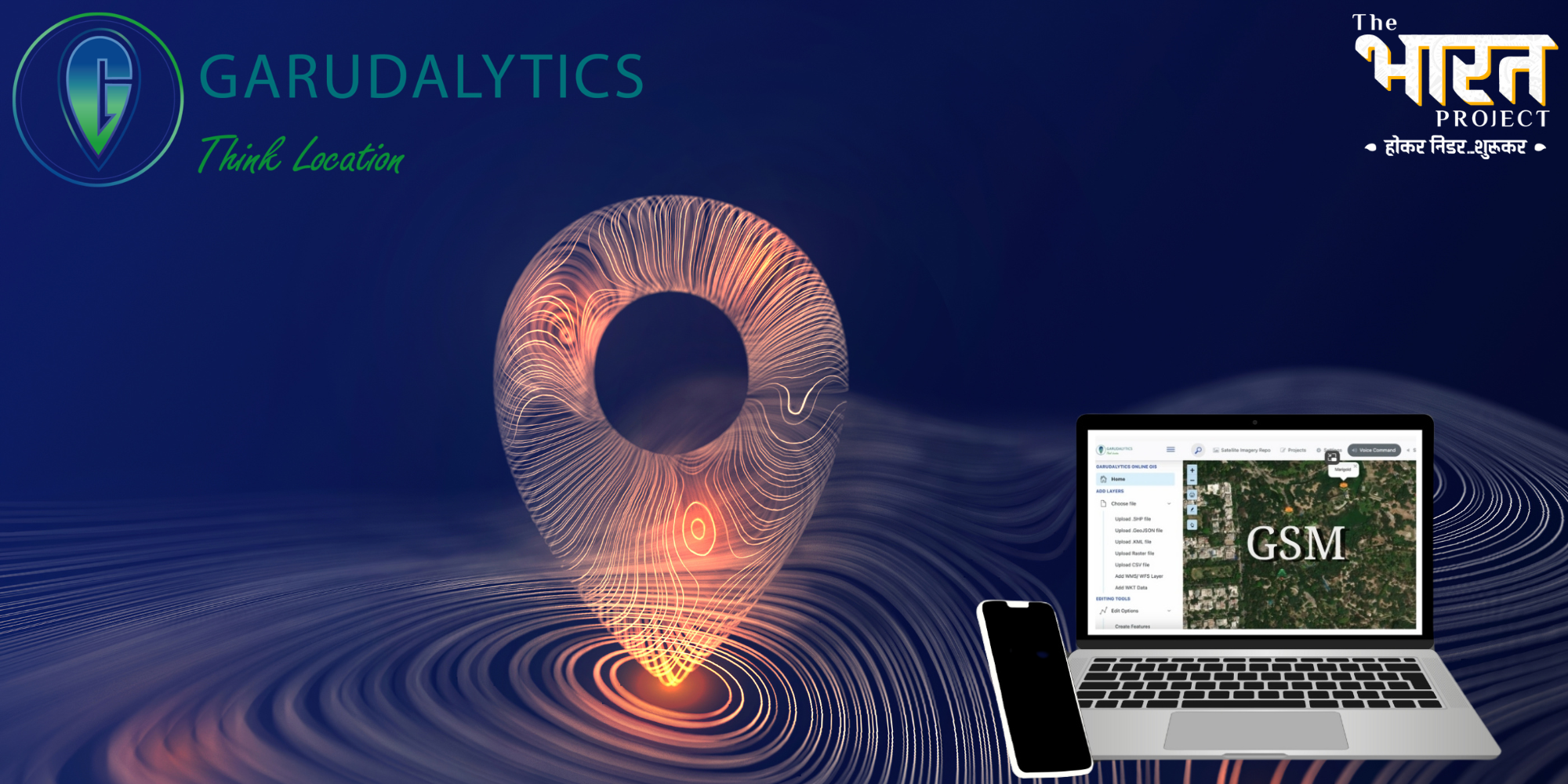
The startup’s flagship product, Garudalytics Smart Mapping, is a voice-enabled geospatial platform that makes advanced spatial data accessible to non-experts. Users can generate insights using simple commands, without navigating complex GIS software. The system supports real-time 2D/3D visualisation, AI/ML-driven insights, and seamless data integration across sectors.
Garudalytics focuses on intuitive, user-centric design delivered through an affordable SaaS model. Compared to domain-specific dashboards from companies like Vassar Labs, its flexible and scalable architecture serves a broader spectrum of applications—from agriculture and land management to utilities, ports, and defence.
Who’s Behind It
Dr. V S S Kiran, CEO, leads product strategy and institutional partnerships, while Jayanta Poddar heads technology and platform architecture. Together, they bring over a decade of experience in GIS and remote sensing from stints at Esri, Tech Mahindra, and other top geospatial firms.
Their 35+ member team is structured across four core units: Product Development, GeoAI/Data Science, GIS & Remote Sensing, and Business Development. The company hires for curiosity, adaptability, and a deep commitment to solving real-world spatial problems.
Solving a Real Pain Point
Traditional GIS tools are costly, complex, and require deep expertise—barriers that limit adoption in many public and private sector applications. Garudalytics solves this with a lightweight, AI-powered solution that reduces the learning curve and boosts accessibility.
Government departments and enterprises across sectors such as urban planning, ports, defence, and agriculture are among its key clients. With India’s geospatial market projected to hit $10 billion by 2030, the opportunity is vast.
Growth, Impact, and Recognition
In just a few years, Garudalytics has executed over 70 projects across both government and private sectors, onboarded more than 45 clients, and signed over 15 strategic partnerships with academic and industry institutions. Notably, it became the only Indian startup to implement a state-level Spatial Data Infrastructure (PSSDI).
Its impact has been recognized nationally, winning several prestigious awards such as the AI Game Changer Award from NASSCOM (2024), the Tech Innovator Award from HDFC (2024), AI Excellence of the Year by CII (2023), the DST/SoI Geospatial Hackathon (2023), and the Innovative Startup Award from Geospatial World (2022).
Beyond recognition, the platform is impacting sustainability efforts by enabling precision agriculture, water conservation, forest fire tracking, and urban climate resilience.
Field Notes & Founder Wisdom
Garudalytics faced early scepticism, particularly from public sector entities wary of abandoning traditional GIS systems. “Pilot projects and relentless demonstrations helped us earn trust,” says Jayanta. Assembling a multidisciplinary team and managing client-specific demands while staying focused on core product development also tested their agility.
The key takeaway? “Design for simplicity and build for your users. Domain-specific, intuitive solutions always outperform generic platforms in the real world.”
“Start with a real problem, not a shiny idea,” advises Jayanta. “Fall in love with the pain point, not the product. Build with empathy, not ego. The startup journey will test your grit—so ship fast, learn faster, and let your purpose drown out the doubt.”
What’s Next
Garudalytics aims to expand Smart Mapping adoption across new government and industrial sectors, launch a sector-specific solution for defence, build a federated AI-driven geospatial platform, and develop a B2C product line tailored for SMEs and individual users. The team is also preparing to scale globally while deepening its presence in academia and research through additional university partnerships.